Buenos Aires Maps and Orientation
(Buenos Aires, Argentina)
Officially known as the as both the Capital Federal and the Autonomous City of Buenos Aires, the Argentine capital is amongst the biggest and most important of all the cities within South America and is now home to a population exceeding three million. Encompassing much of the surrounding area, Greater Buenos Aires is a huge metropolitan area with a popular of more than 13 million people.
Buenos Aires lies on the north-easterly coast of
Argentina, on the southern side of the Rio de la Plata, and just to the south of the border with Uruguay. Locals are often referred to as 'portenos', which simply translates as 'people from the port'.
Maps and Orientation of the City
The city itself comprises some 48 different neighbourhoods (barrios). Downtown Buenos Aires is a good place to start any exploration of the city and forms the very heart of the action, with the various barrios being well connected by public transport. Directly south of downtown Buenos Aires are the cobbled streets of San Telmo, while the exclusive barrio of Recoleta is to the north, together with the parklands of Palermo and the residential area of Belgrano.
Some of the barrios are clearly divided my prominent streets, such as the Avenida Cordoba, which separates both the Recoleta and the Balvanera, while others are more difficult to define, such as the boundary of the Palermo district. Therefore, pocket-sized maps are always a sensible item to bring with you.
The Microcentro is a popular destination and stands directly north of the Avenida de Mayo, being subdivided into areas such as Congreso, La City, Montserrat and San Nicholas. Many other barrios of Buenos Aires are too are split into sub-neighbourhoods, such as Recoleta (Barrio Norte) and Palermo (Las Canitas and Palermo Viejo).
- Capilla del Senor - north-west
- Chacabuco - west
- Chivilcoy - west
- Cordoba - north-west
- El Tigre - north-east
- Gualeguay - north-west
- Isla Martin Garcia - north
- Junin - west
- La Plata - south-east
- Lincoln - west
- Lujan - west
- Mercedes - west
- Montevideo (Uruguay) - east
- Rosario - north-west
- San Antonio de Areco - north-west
- San Pedro - north-west
- San Vincente - south
- Santa Fe - north-west
- Villa Constitucion - north-west
- Zarate - north-west
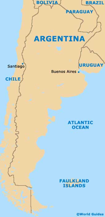
Map of Argentina
Map of Buenos Aires

